![[Home]](images/nav_home.gif) |
 |
 |
 |
 |
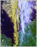 |
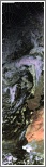
| metopC ch2+4 Arctic Ocean to the Grain Coast afi25-1046-a-apt.JPG 1,073 KB |
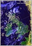
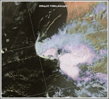
ch1+2+4 Convection developing over the UK, mainly in north and west afi25-1046-b-uk.JPG 475 KB |
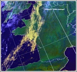
ch1+2+4 Shallow frontal cloud band over northwest France afi25-1046-c-fr.JPG 368 KB |
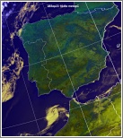
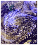
ch1+2+4 Broken frontal cloud band over NW Iberia and coastal vortex west of Morocco afi25-1046-d-ib.JPG 394 KB |
ch1+2+4 Frontal band western Belgium to southern Norway afi25-1046-e-dk.JPG 456 KB |
 |
 |
 |
 |
 |
| ch1+2+4 Filling low south of Iceland and associated cloud afi25-1046-f-ic.JPG 551 KB |
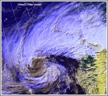
ch1+2+4 Low west of Norway and associated cloud afi25-1046-g-nos.JPG 560 KB |
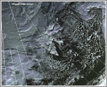
ch2+4 Lee vortex south of Svalbard and snow disposition afi25-1046-h-sv.JPG 481 KB |
ch2+4 West-African squall east of the Cape Verde Is. afi25-1046-i-cv.JPG 280 KB |
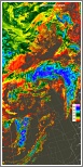
ch-th Colour coded thermal image (0 to -60C) Arctic to Iberia afi25-1046-j-apt.JPG 1,305 KB |
 |
 |
|||
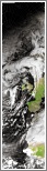
| ch-vg Vegetation index Arctic to the Grain Coast afi25-1046-k-apt.JPG 1,050 KB |
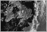
ch2 Enlarged image of southern UK afi25-1046-l-uk-s.JPG 607 KB |